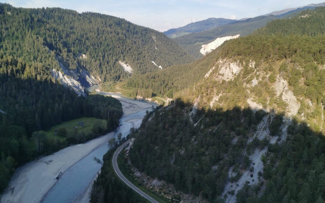
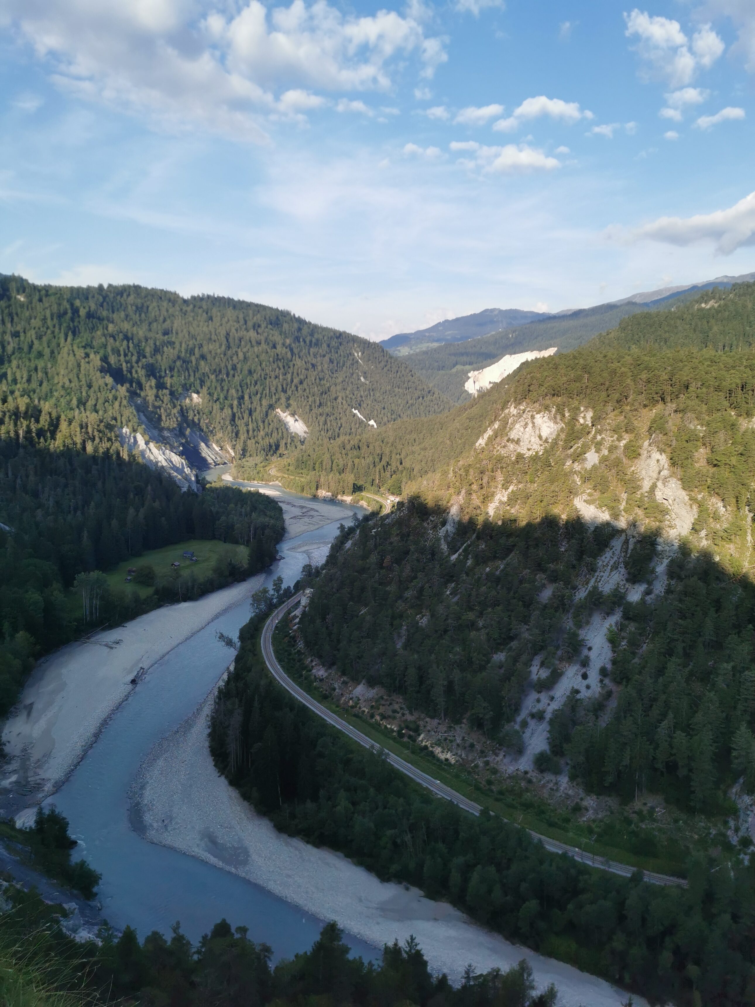
I start the day with spectacular view into the Rhine gorge. A few kilometers onwards, I turn south towards the Hinterrhein, the other starting arm of the Rhine river.
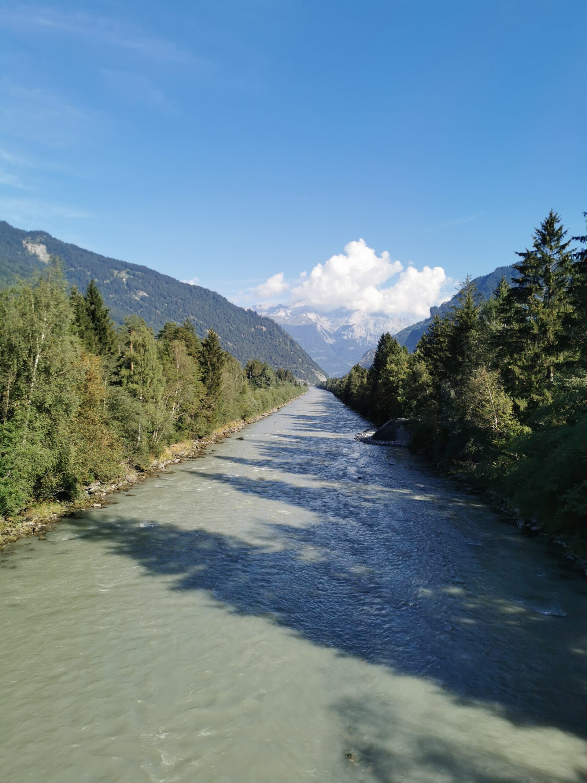
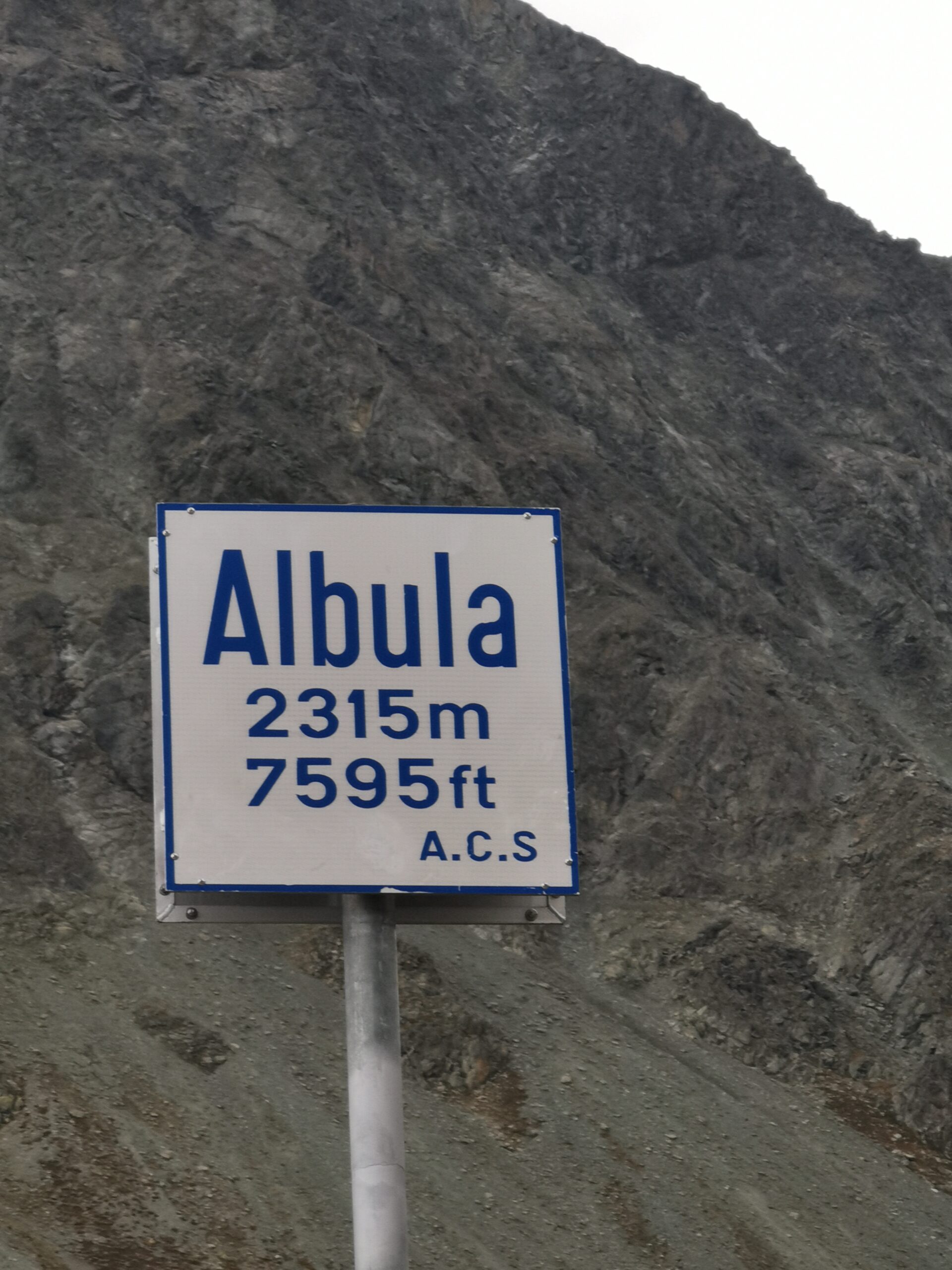
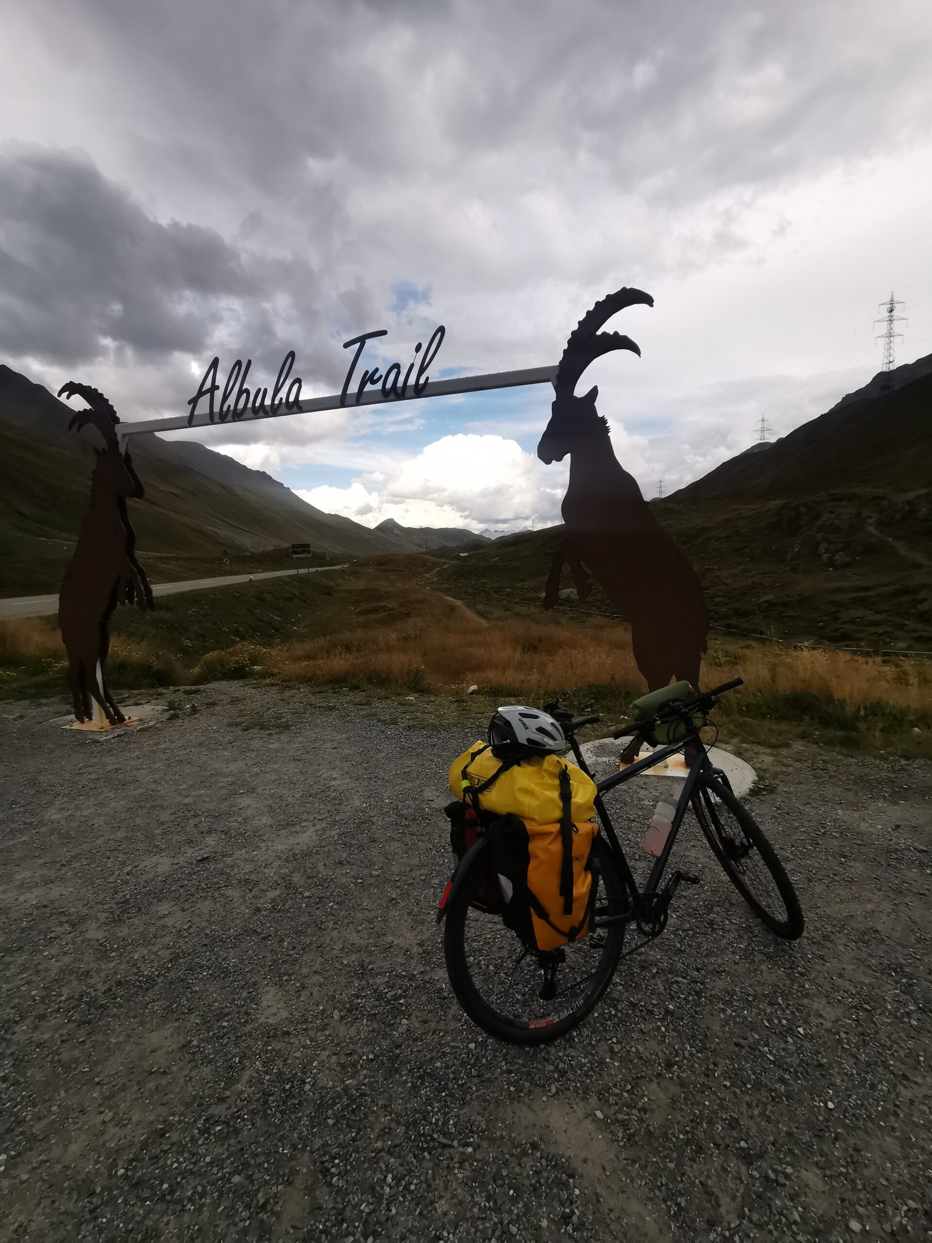
In Thusis I turn East again, riding over 40 km along the Albula river up to the pass of the same name. The last 18 km have the longest uphill stretch so far: 1300 m in one go.
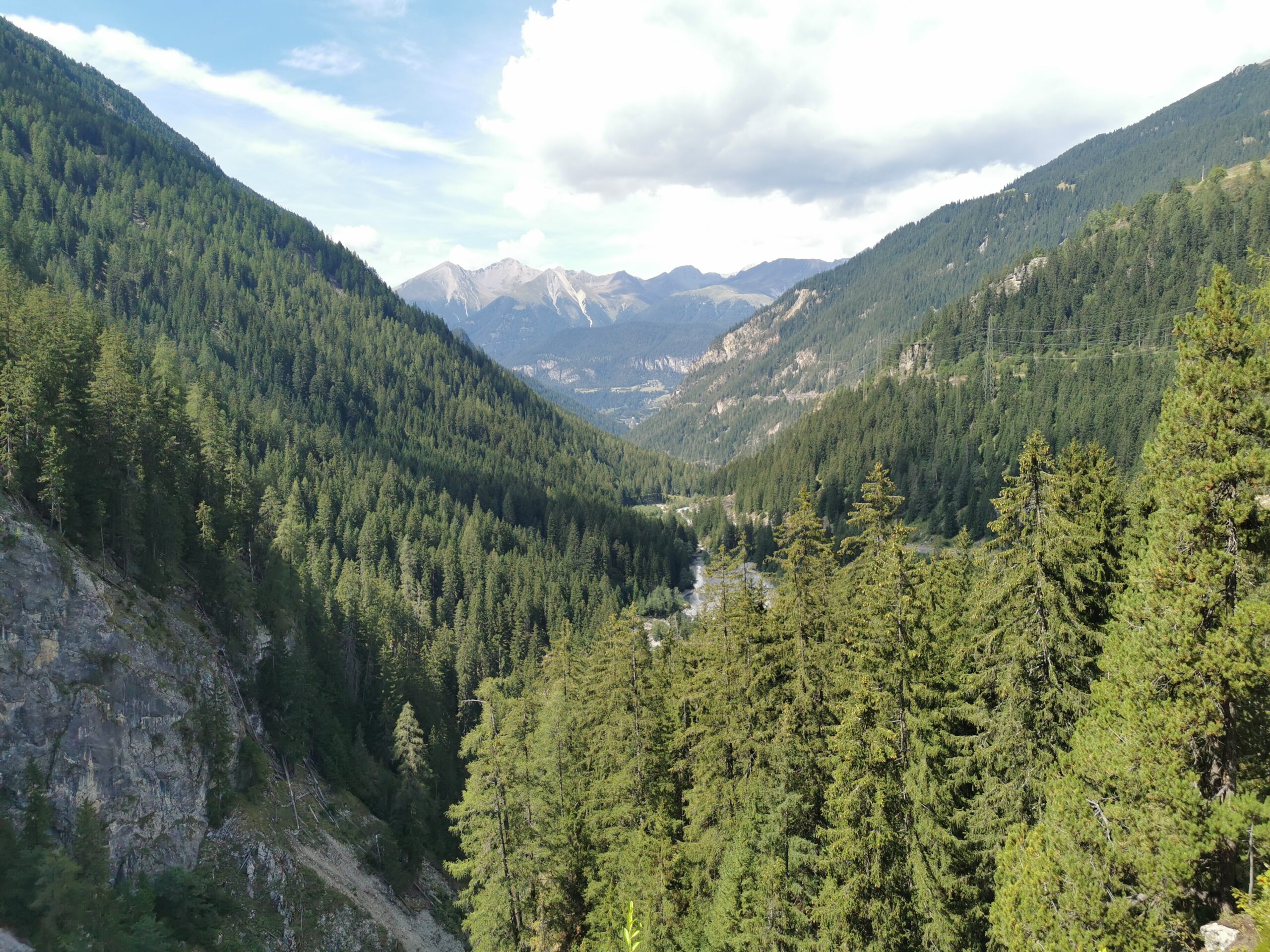
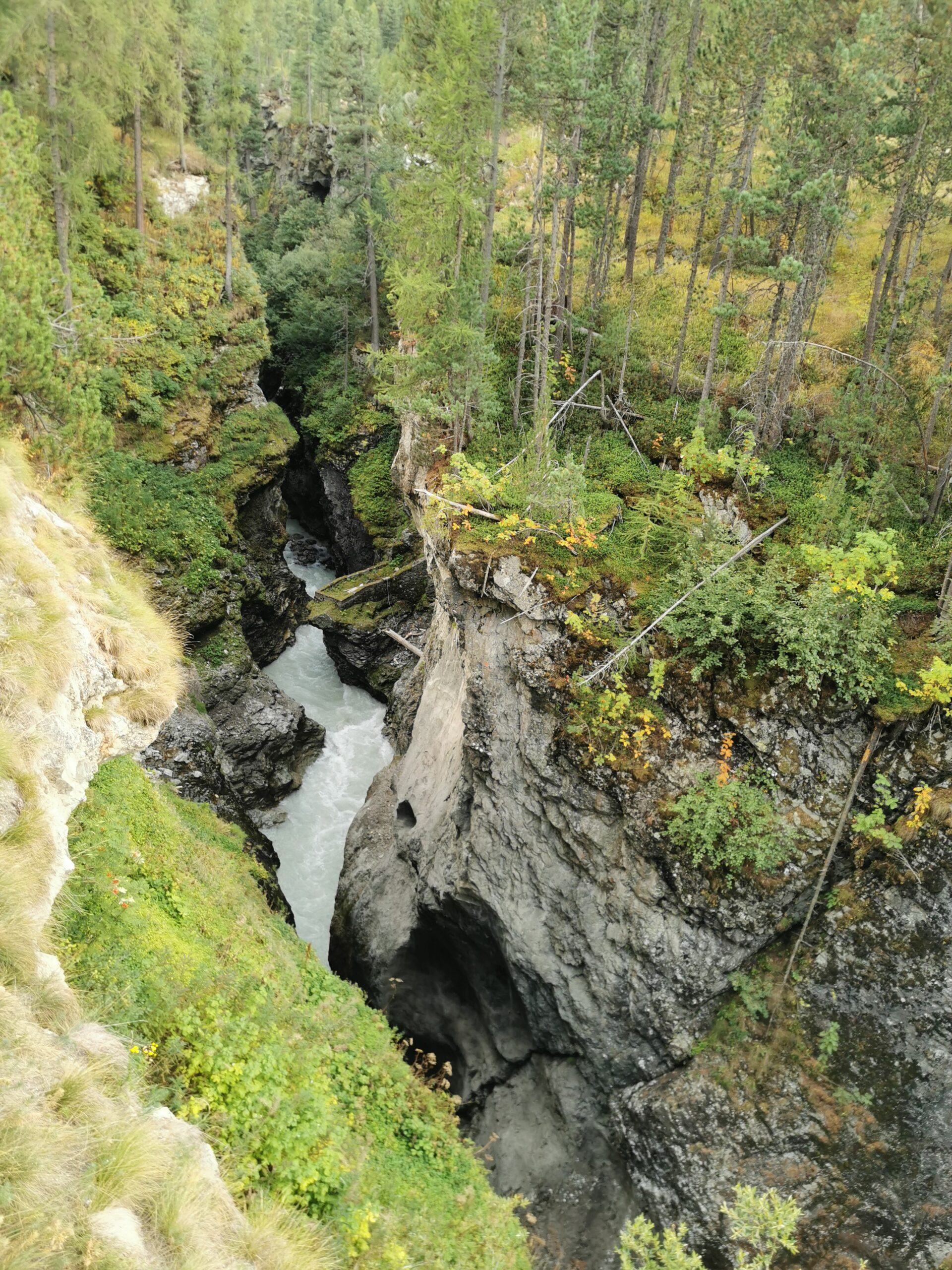
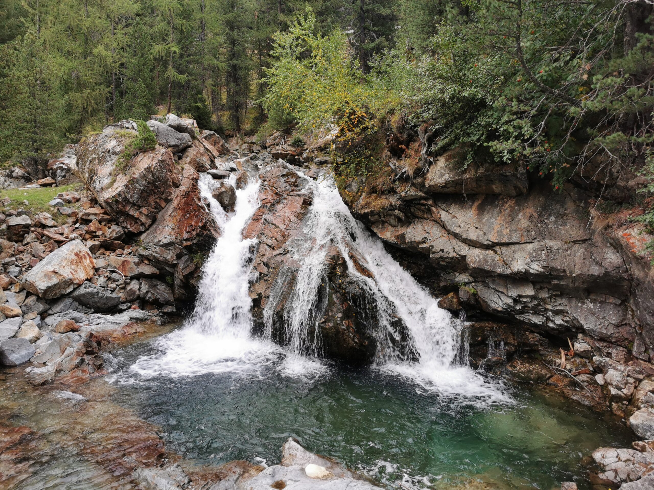
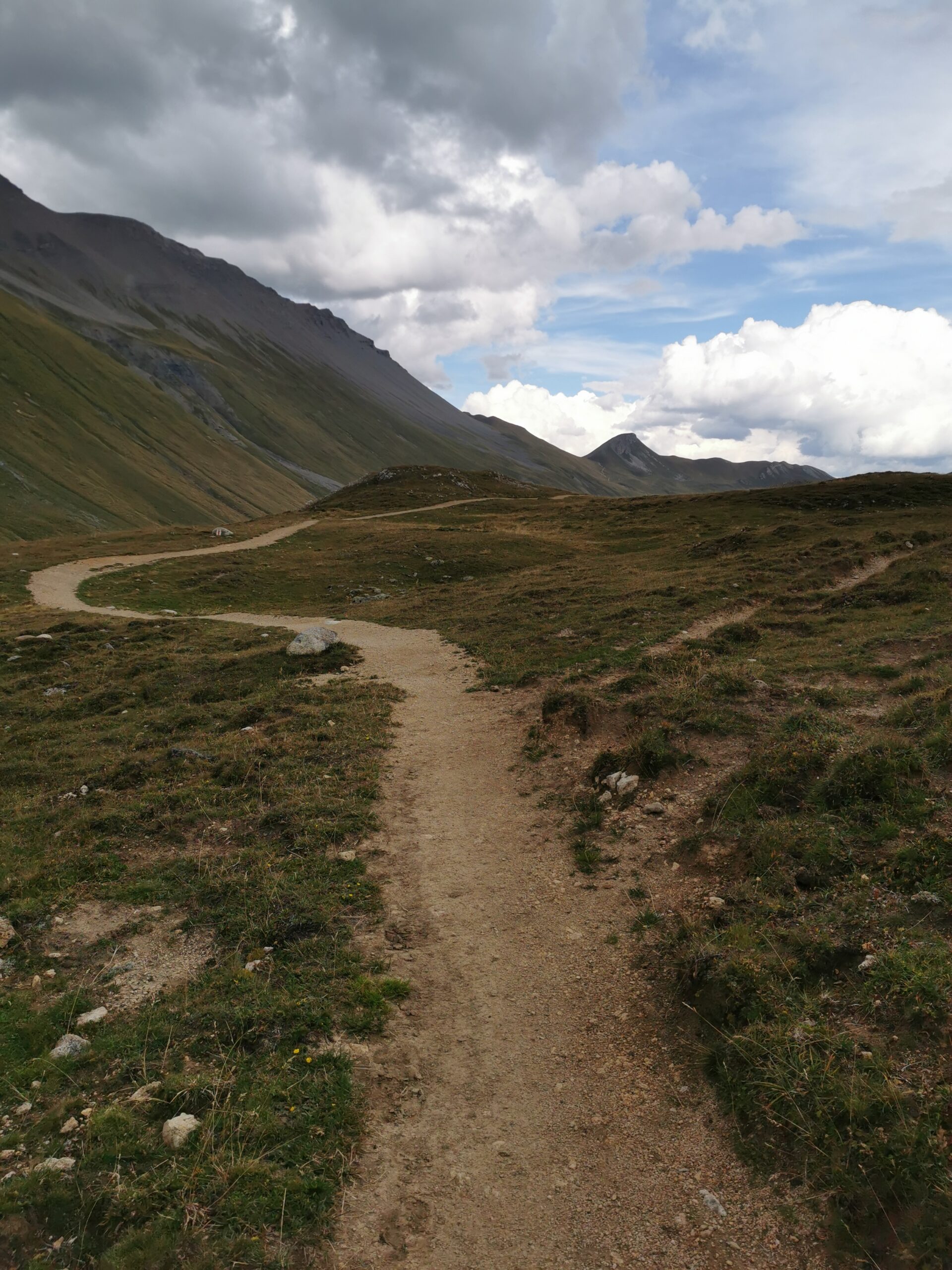
At the top, I’m surprised by a bike trail leading down to the valley and since it’s described as very flowy, I try it, not without checking, if there’s ways to bail out. The first part has indeed great flow and very smooth surface with only one technical section. The second part is harder and has some rocky sections where I decide to walk once or twice, mainly because of my cargo. The third part is a forest road, at least as far as the turnoff I take. From here a forest road leads righ along the valley and the map promises a nice decline all the way.
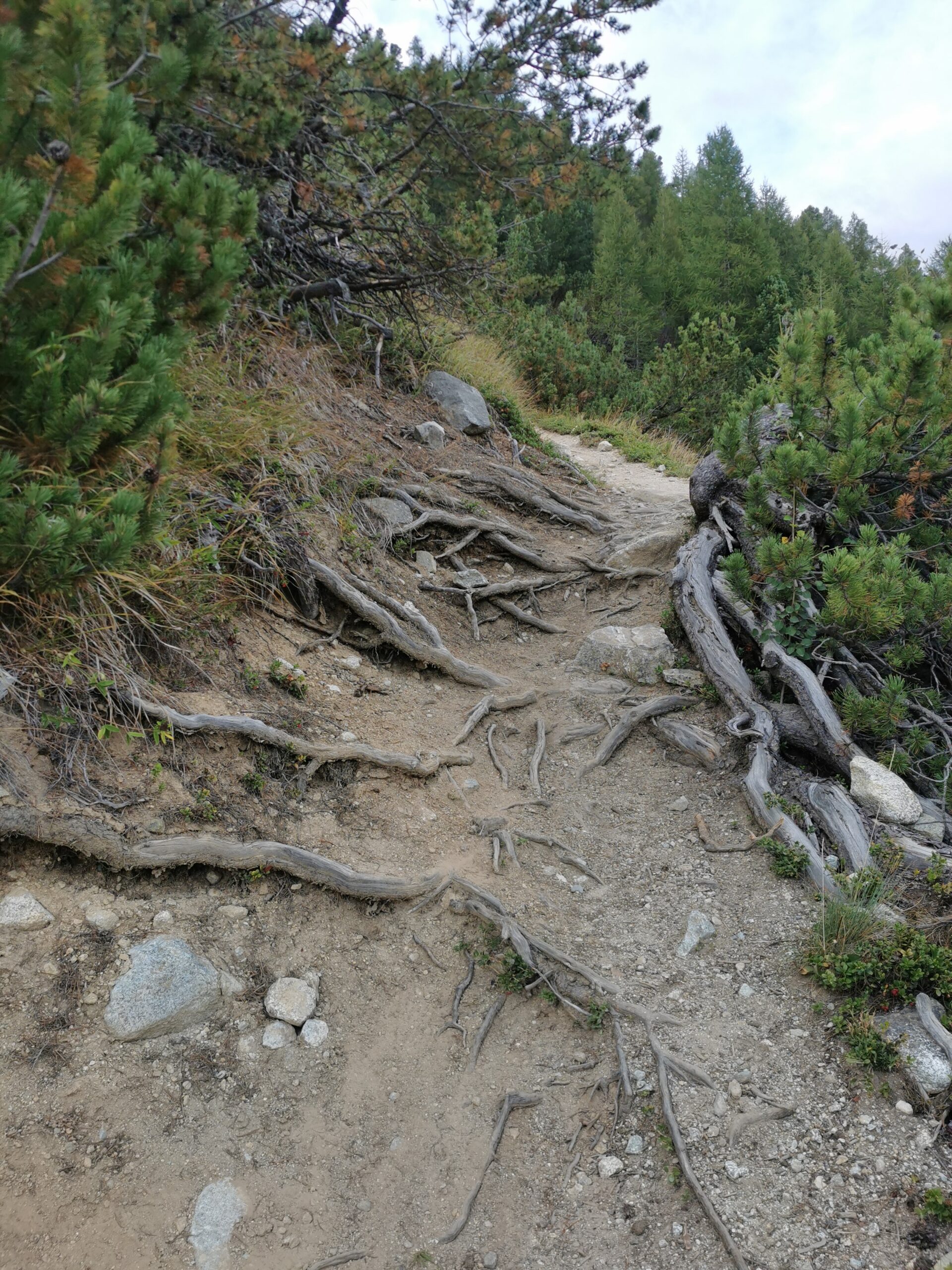
However, as these things are, maps can be misleading and the wide road turns narrow quickly. Even better, I think, another trail ride. But then the first roots pop up, and huge rocks make me walk part of the time. Then the trail starts going steeply up and down and it soon. ecome clear that this is a pure hiking trail. Not even a mountain bike would have helped much here. So I push and carry my bike for half an hour until the trail leads onto another forest road and finally down to the valley floor.
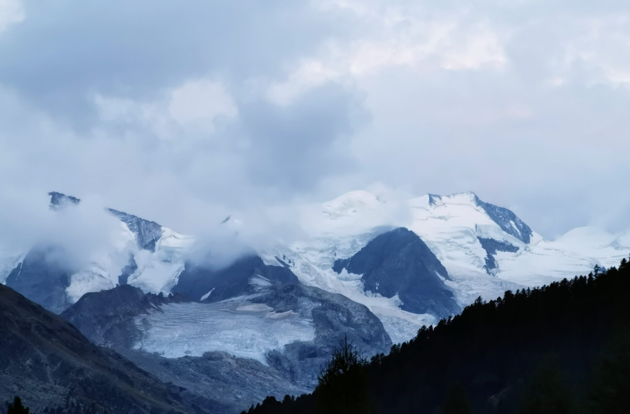
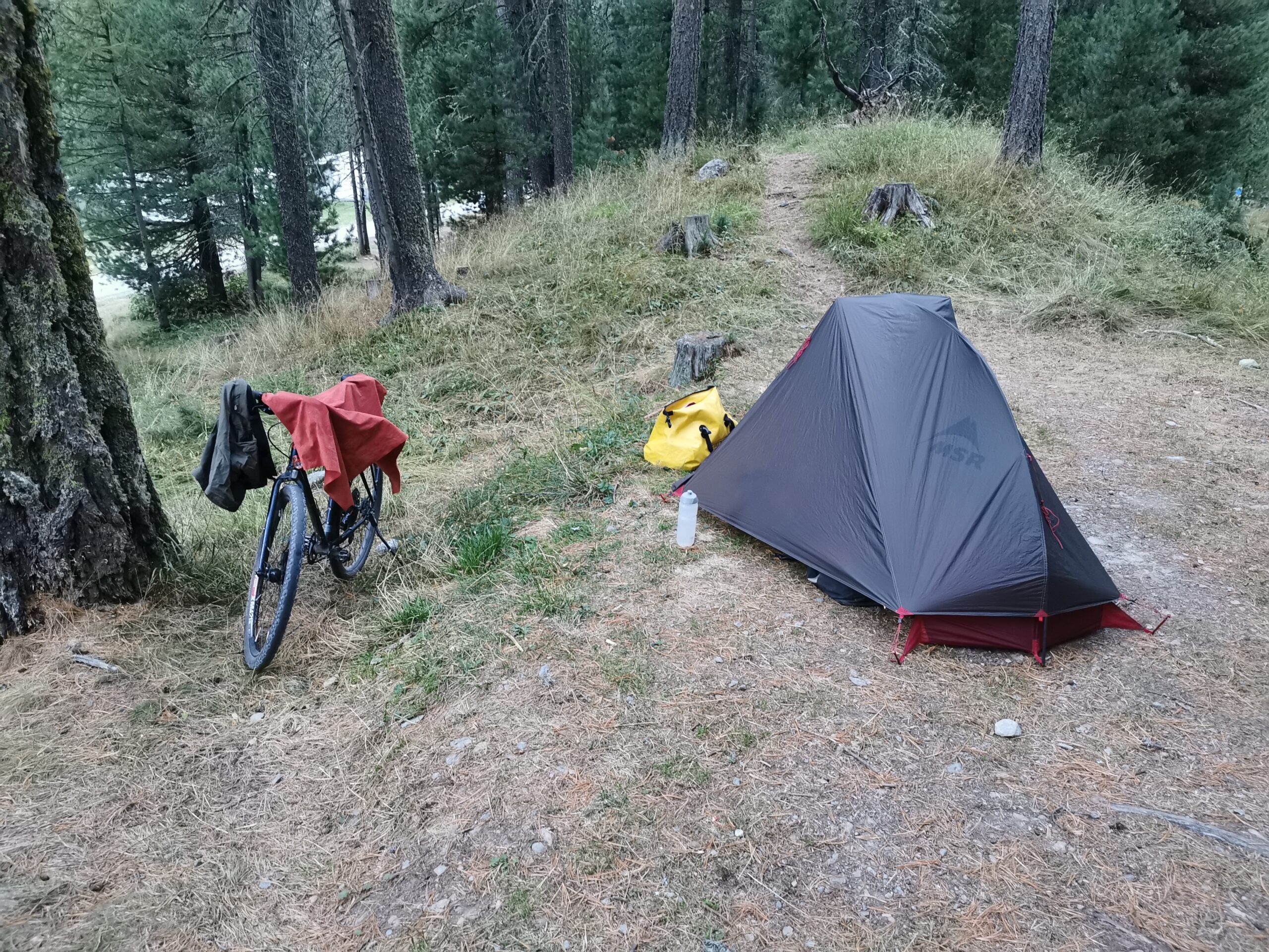
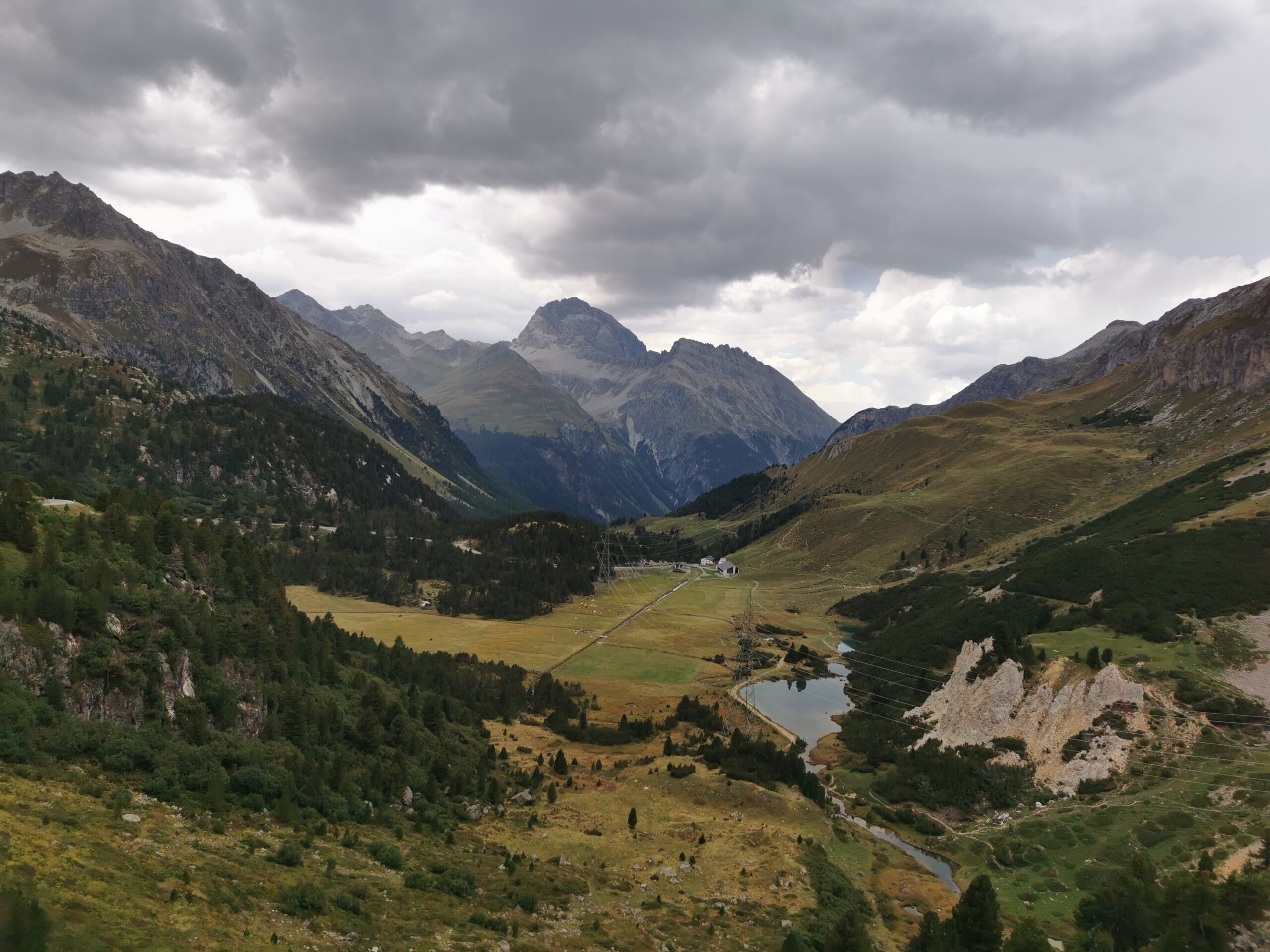
I ride another 20 km along the valley until just after Pontresina. I stop at the Morteratsch camping. I even have a view onto the glacier from my tent.