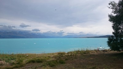
Yesterday’s beautiful view on Aoraki is clouded today. The weather report says 11mm of rain in the evening but that doesn’t sway me. Looking at the Alps to Ocean (A2O) cycle trail website I find that the trail is complete. My guide still said it was ‘in progress’.
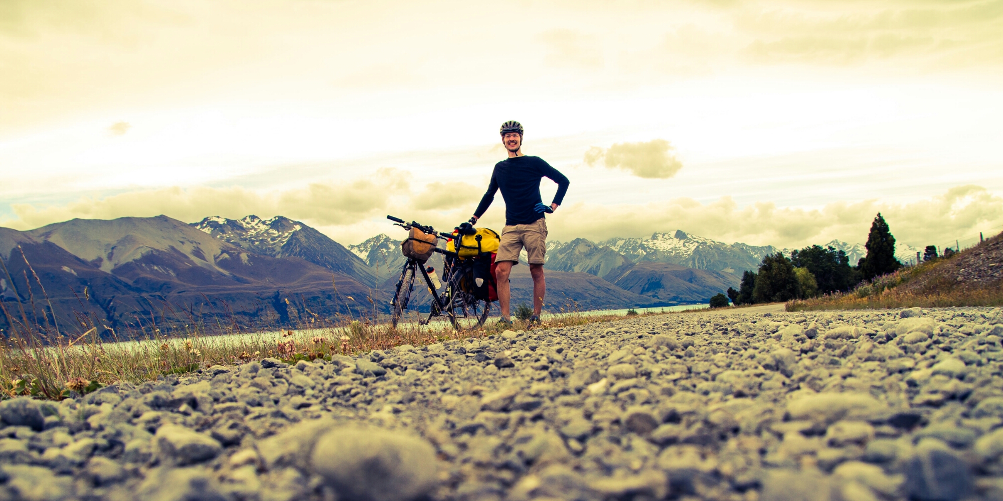
So around 11 o’clock I backtrack about 30 minutes up the eastern lakeside, then head onto a gravel road which, very sadly, is used by cars frequently.
There’s not much traffic but there are the characteristic washboard grooves across the road that make cycling a figurative and literal pain in the ass.
Add to this the same strong headwind as yesterday and it’s not really easy going.
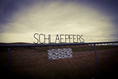
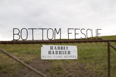
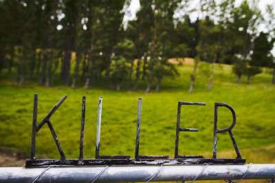
Along the road are several pasture gates with interesting iron letters on them, presumably owner’s or pasture names ( they repeat).
I meet a few bikers who were shuttled up to the trailhead one of which informs me that there’s been a washout further up and a that I would have to ‘jump two fences’ to get around. Considering that almost all fences here have barbed wire on top, not a great prospect.
At 15.00 I pass Cook Station, the last farm out there. The gravel road ends here and a trail across the Tasman river’s plateau begins.
Shortly afterwards I come upon the washout. Contrary to what I’ve been told one can easily walk along the ‘cliff’, though. Or just ride 🙂
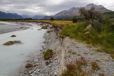
The trail from here on out is through the beautiful river plateau, with less and less vegetation and several mountain streams joining the Tasman river. It rains lightly from time to time but both wind and rain are warm.
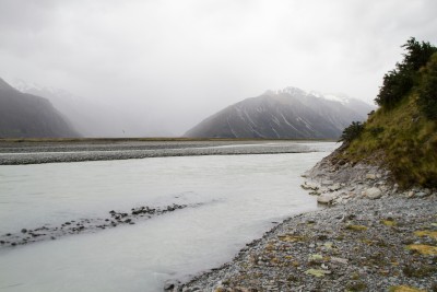
At one point I meet two jeeps. The driver of one asks me where I’m from and where I’m going and at my reply ‘to Cook village’ surprisedly asks if I’m going to swim across the river.
This is my first notion that the trail will not lead across the river at all. 20 minutes later, I reach the end of the official trail, continue on until I reach the river. A fairly big river, filled with glacial water and most of all extremely fast flowing. It is clear that I cannot cross. Maybe I should have interpreted the helicopter markings on the A2O map as mandatory , not optional…
In vain I look for markings on the stone walls, elven letters spelling out ‘say friend and enter’, but no door to a dwarven mine is visible.
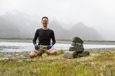
Instead I build an Inukshuk, to mark my progress.
Turning back, the wind drives me across the plateau at great speed and great fun. On the gravel road back the wind lets up, however, and it starts raining more frequently.
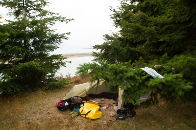
I look for a campspot earlier than the south shore where I camped yesterday.
Eventually I find the perfect spot, after walking through some thorn bushes, on a cliff above the lake.